














Precision isn't just about what you see from the air—it’s about the measurable data beneath the surface.
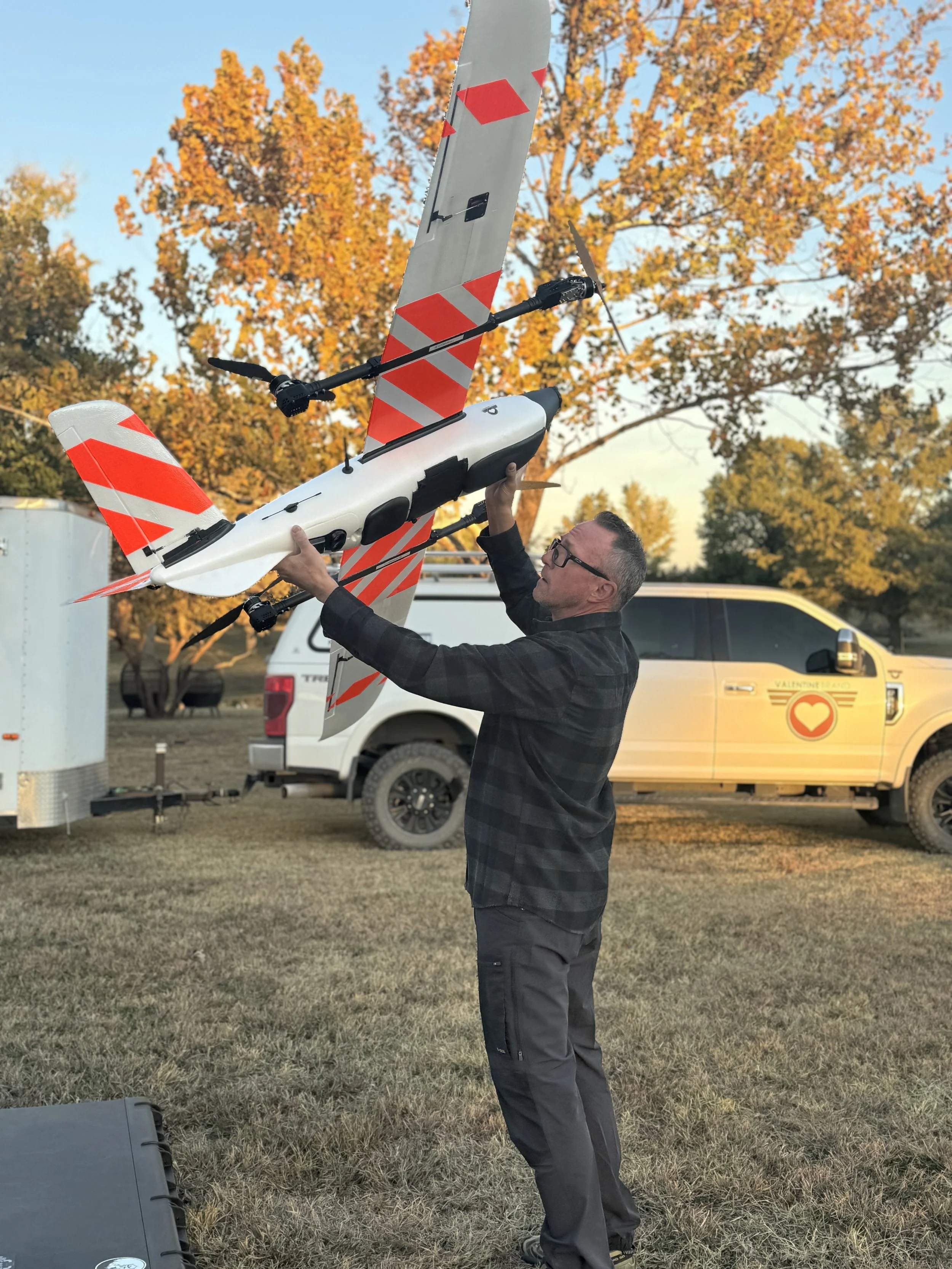
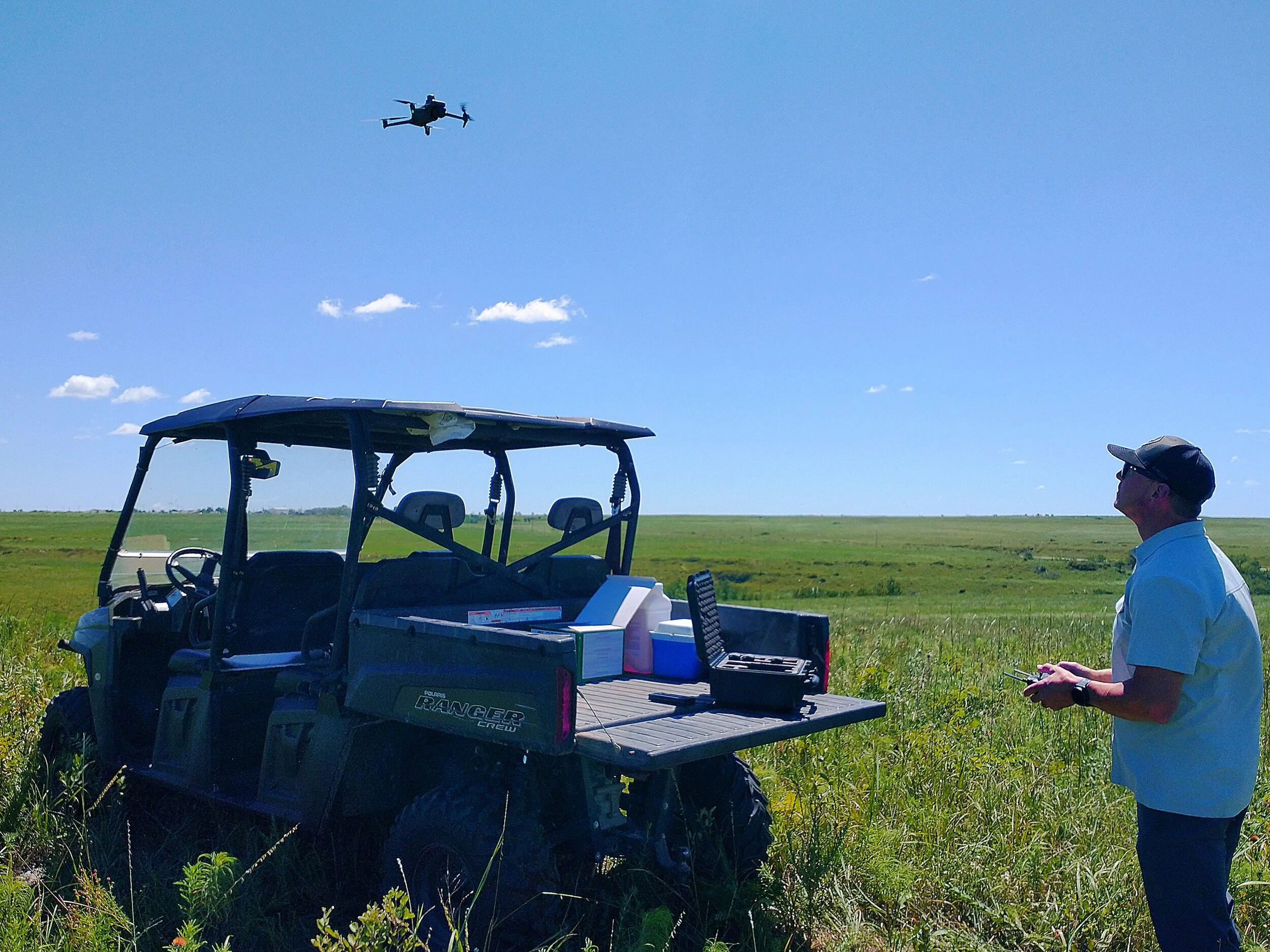
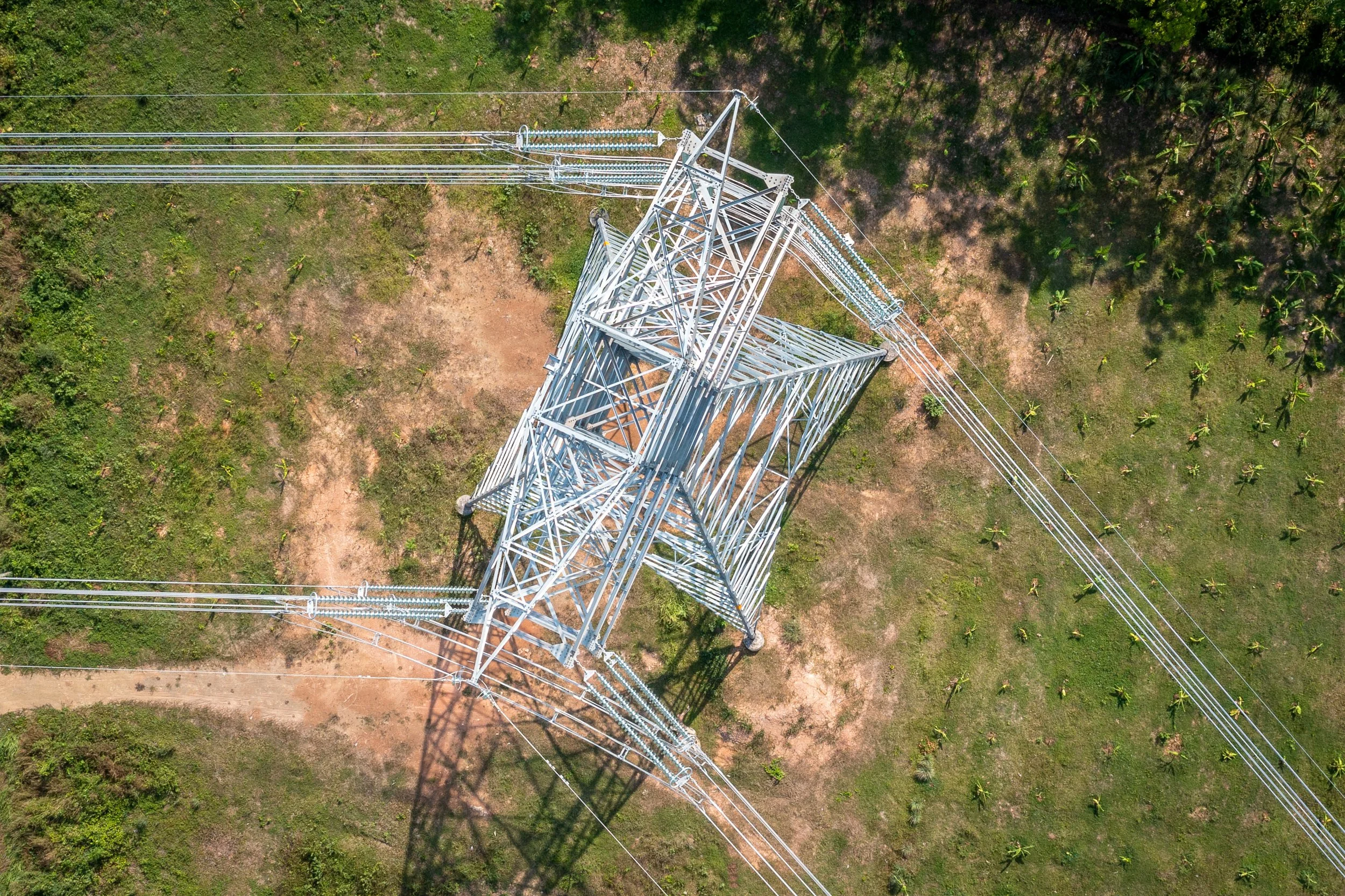
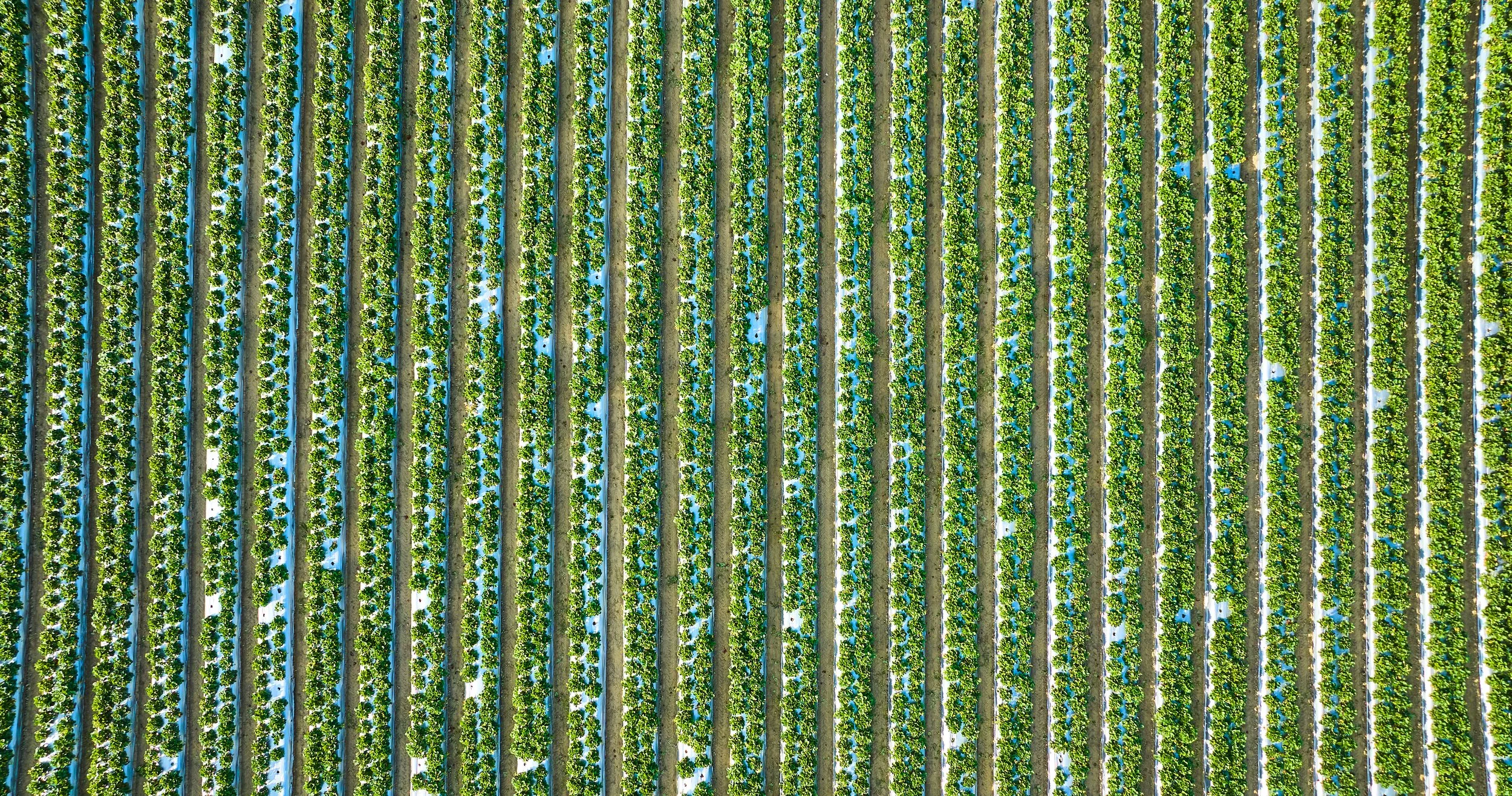
Valentine Brand bridges the gap between field-level flight operations and engineering-grade reality capture. By pairing advanced aerial LiDAR, photogrammetry, and RTK survey control, we turn complex physical terrain and structures into accurate digital twins, classified point clouds, and actionable geospatial intelligence. Built for engineers, project managers, and land stewards who require data they can stake their reputation on, we deliver the clarity needed to design, inspect, and build with absolute confidence.